

Snow and Ice Cover
Daily satellite snow cover for Europe and the Atlantic • drag to pan, scroll to zoom
Snow shows up in bright cyan on this map, laid over a complete satellite picture of the Earth with place names. Two NASA satellites are combined to fill gaps. Cloud can hide the ground, so a gap does not always mean there is no snow. Pick a day to watch snow cover build up and melt back through the winter. NASA processes each day with a delay of up to a day or more, so the newest day is often still blank. The map opens on the most recent day that is normally complete, two days ago.
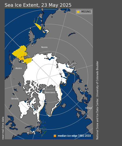
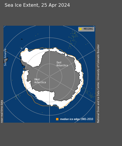
Sea Ice Extent
The extent of sea ice at the north and south poles, a long-term indicator of how the climate is changing. These pictures update daily, and the National Snow and Ice Data Center normally publishes them with a delay of one to two days, so the date shown on each picture will be behind today.