Sun and Moon Observational Data
Sun |
Earth |
Moon |
 |
||
| Sunrise: 07:02 Sunset: 17:36 Daylight: 10:34:00 |
Current Sunlit Earth With Live Cloud Cover |
Moonrise: 08:57 Moonset: 00:18 Waxing Crescent Moon 43% Illuminated |
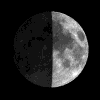
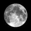
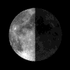
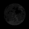
| First Quarter Moon | Full Moon | Last Quarter Moon | New Moon |
 |
 |
 |
 |
|
24/02/2026 12:28 12:28 UTC 24 February 2026 |
03/03/2026 11:39 11:39 UTC 3 March 2026 |
11/03/2026 09:39 09:39 UTC 11 March 2026 |
19/03/2026 01:24 01:24 UTC 19 March 2026 |
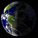
| Vernal Equinox Start of Spring |
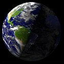
Summer Solstice Start of Summer |
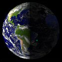
Autumn Equinox Start of Autumn |
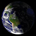
Winter Solstice Start of Winter |
 |
 |
 |
 |
|
20/03/2026 14:47 14:47 UTC 20 March 2026 |
21/06/2026 08:25 08:25 UTC 21 June 2026 |
23/09/2026 00:06 00:06 UTC 23 September 2026 |
21/12/2026 20:51 20:51 UTC 21 December 2026 |
Current Position of Day and Night Regions - World Sunlight Map
The World Sunlight Map provides a computer-generated approximation of what the earth currently looks like.
While less impressive than actually being into orbit, this is much more accessible to most of us.
We start with cloudless images of the earth during the day (from a pair of NASA satellites) and night (from a DoD program to map city lights). Every 3 hours, we download a composite cloud image based on data from weather satellites all over the world. And every half hour, these images are composited and mapped onto a sphere by xplanet according to the relative position of the sun. The flat maps are post-processed by ImageMagick to cut off the 15 degrees nearest the north and south poles where cloud data is unavailable.
Composite Image of the Moon - Current Phase Map
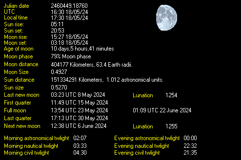
Moon Phase provides a computer-generated approximation of what the moon currently looks like.
While less impressive than the real thing, it doesn't require waiting for a cloudless night.
It is based on a composite image of the moon made up of data from various satellites. Every hour, this image is mapped onto a sphere and shaded by xplanet according to the current positions of the earth and moon, then post-processed by ImageMagick to remove some visible artifacts.


